Swargadwari Hilltop
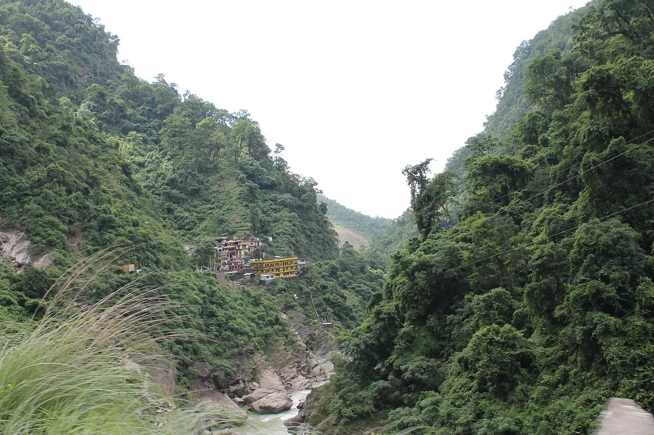
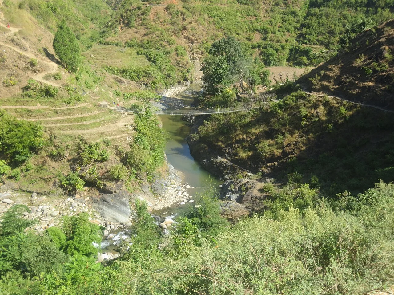
Explore The Beauty
Around Swargadwari Hilltop
2,121m
September – May
175 km from Kohalpur
Crisp cool mountain air 16°C, panoramic clear ridges
Gateway to Heaven Above the Hills of Pyuthan
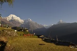
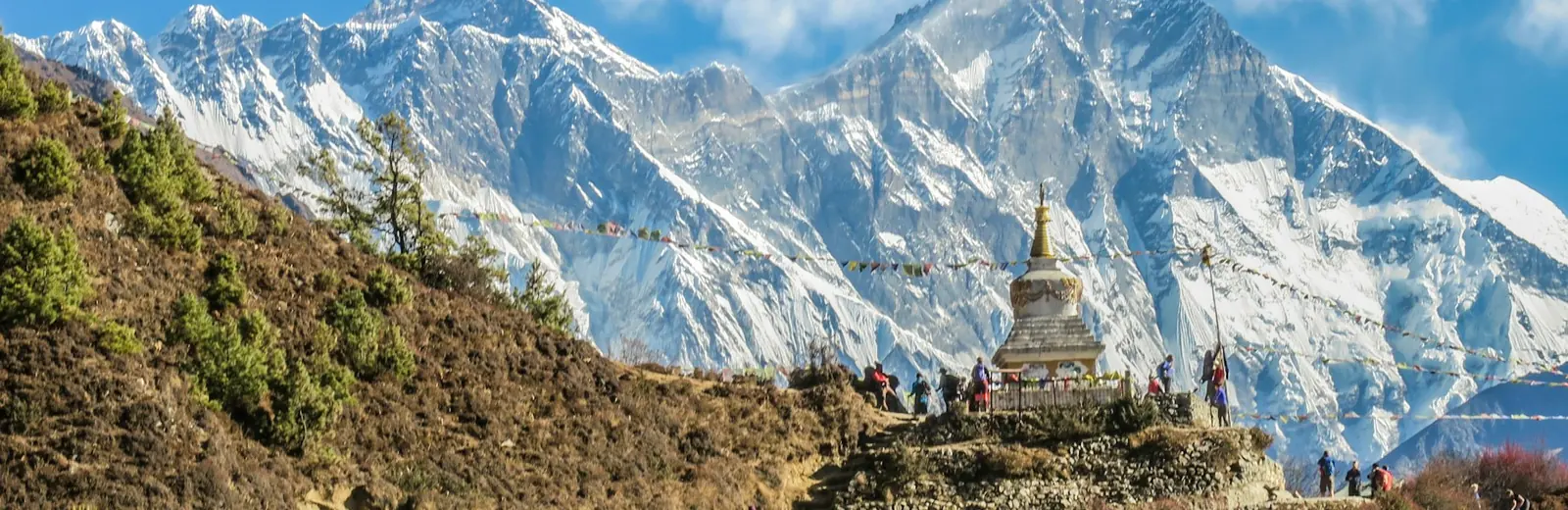
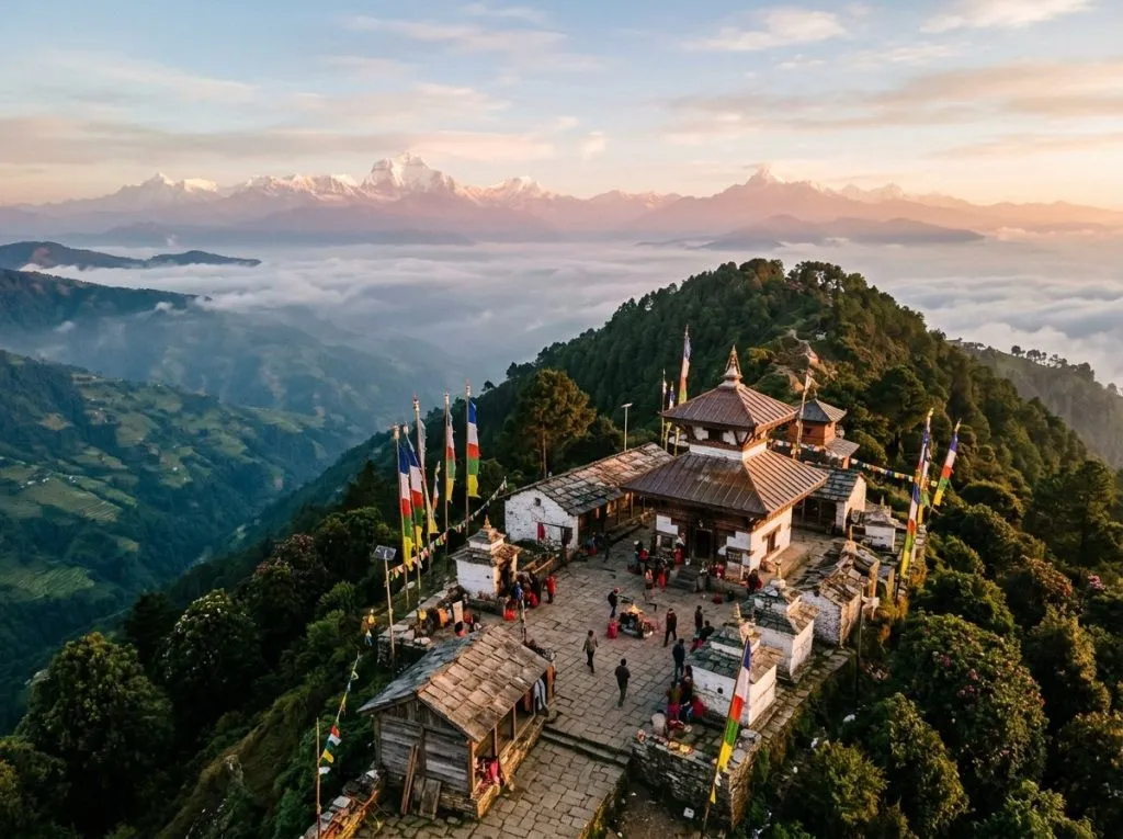
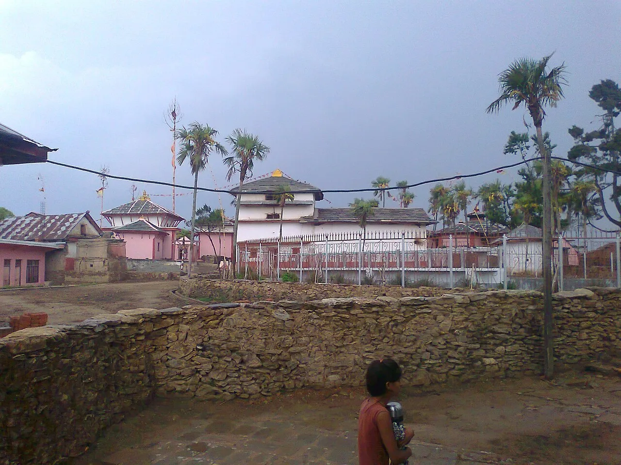
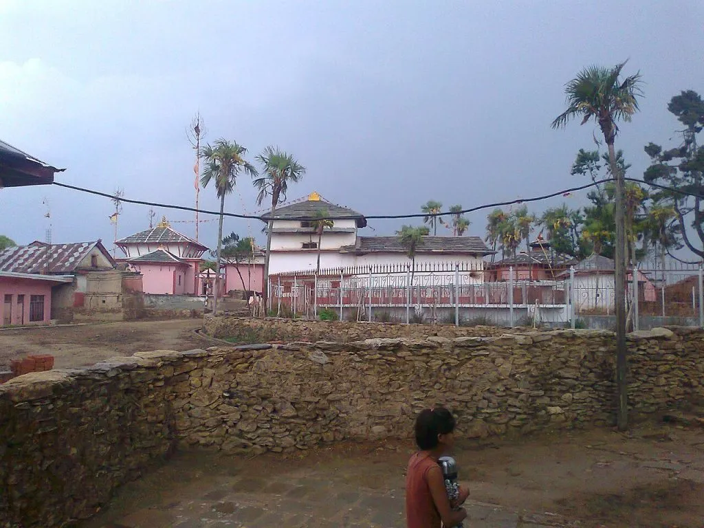
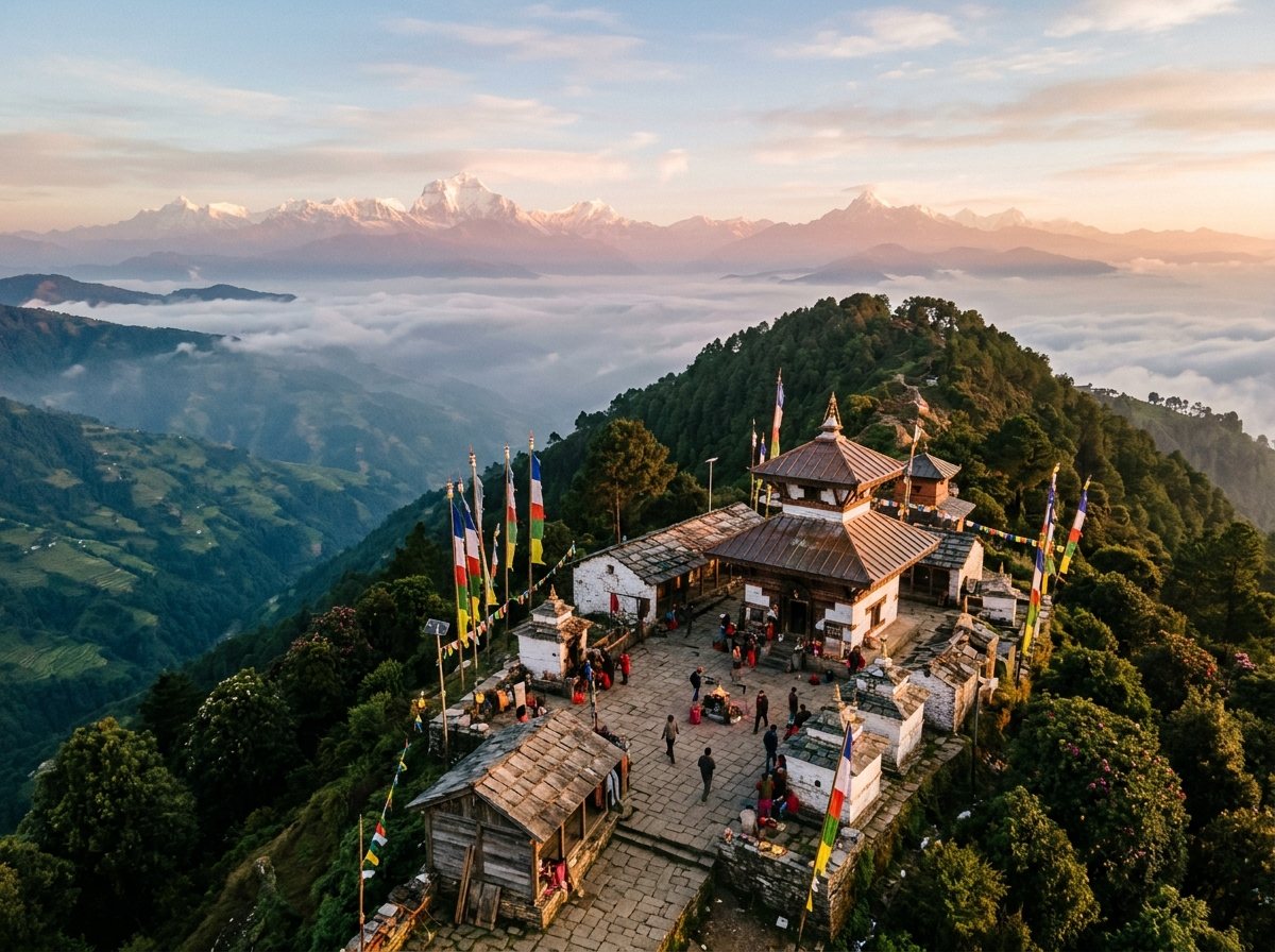
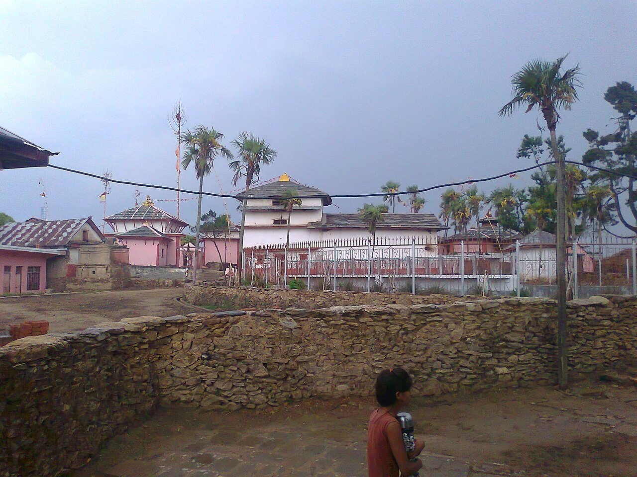
Rising 2,121 meters above the southern Mahabharat range in Pyuthan District, Swargadwari blends deeply living Vedic tradition with sweeping dawn vistas across Dhaulagiri, Annapurna, and Manaslu peaks. Revered since the late 19th century as the tapasya ashram of Swami Hamsananda (Swargadwari Mahaprabhu), the mountaintop sanctuary sustains uninterrupted sacred fire rituals (Akhanda Dhuni) and peaceful stone-flagged courtyards.
Highway Approach, Trek Final Mile & Nearby Circuits
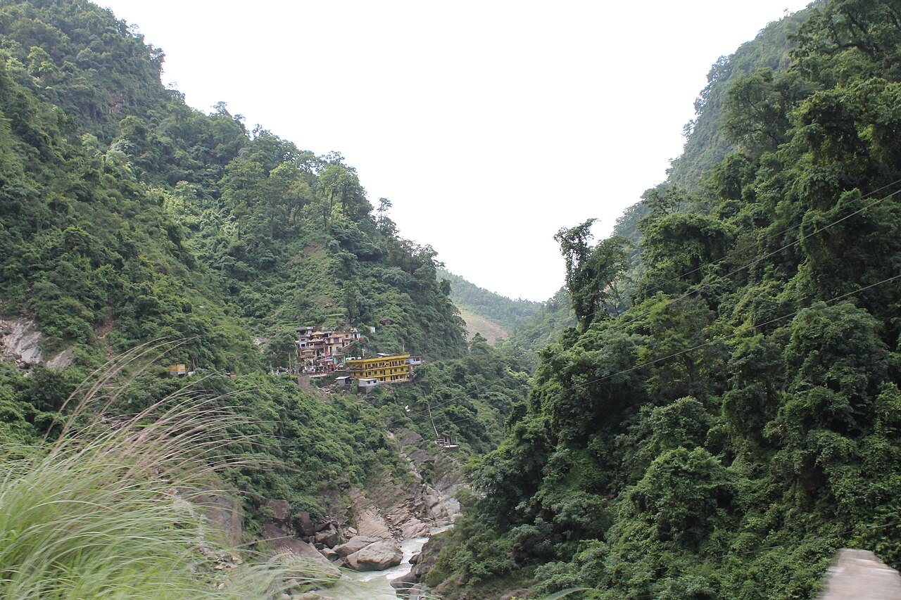
- Private Drive from Kohalpur via Bhalubang: Follow the East-West Highway to Bhalubang, climb along the Madi River gorge to Bhingri and Dharampani, then walk the scenic stone ridge staircase — featured in our Swargadwari Sacred Hilltop Pilgrimage.
- Combined Sacred Route: Link Lumbini’s Buddhist heritage with Pyuthan’s hilltop shrine — read our complete Lumbini to Swargadwari Pilgrimage Guide.
- Morning Aarti & Cowshed Heritage: Witness early-dawn Vedic chants beside stone bell sanctuaries and serene valley clouds extending down toward Lumbini Plains.
Official Tourism & Transport Coordination
Provincial pilgrimage heritage information is promoted by the Nepal Tourism Board. Our Kohalpur dispatch office coordinates punctual 4WD SUVs, family Tempo Travellers, and elders-friendly porterage from Dharampani base.
Highway Schedule & Transit Stop Points
From Kohalpur HQKohalpur Base Office (Departure)
Vehicle check, fuel top-up, route map handover, driver introduction.
Scenic Highway Crossing
Rest stop with panoramic valley views and morning refreshments.
Mid-Way Checkpoint & Lunch
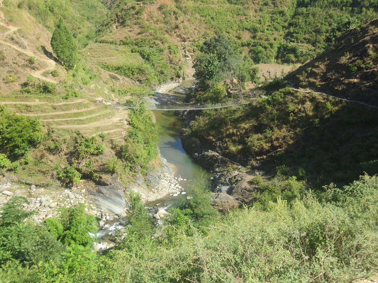
Hearty local meal, permit stamps, photo stops at suspension bridges.
Destination Gate Arrival
Lodge check-in, orientation walk, sunset overlook.
Middle Destinations En-Route from Kohalpur
Foothill Riverside Waypoint
Scenic river junction where mountain tributaries meet lowland Terai floodplains, featuring fresh fish and tea stalls.
Historical Gateway Settlement
Centuries-old market town connecting valley trade routes with mountain high passes.
Top Activities & Experiences
Open 4x4 Overland & Safari Trails
Custom open safari jeeps and Scorpios traversing deep riverbeds, forest corridors, and mountain passes.
Scenic Panoramic Viewpoints
Hikes to high ridge lookouts for golden hour sunrises and 360-degree mountain vistas.
Authentic Indigenous Culture
Homestay interactions, traditional cooking demonstrations, and tribal handicraft displays.
Riverside Wildlife & Drift Boating
Gentle river excursions for birdwatching, aquatic life, and untouched tranquil nature.
12-Month Weather, Mountain Clarity & Road Status Matrix
Click any month below to inspect expected temperatures, road status, and wildlife congregation odds.
November
Current peak travel window. Outstanding mountain visibility and pleasant jungle walks.
Scenic Views & Photography Hotspots
High Ridge Lookout Point
Unobstructed mountain rim overlooking sweeping valleys below.
Tranquil Water Reflection Sanctuary
Calm waters reflecting mountain peaks under crisp morning light.
Historical Architectural Ruins
Ancient stone carvings, prayer wheels, and temples built centuries ago.
Destination Photo Gallery
Click any photo to open in fullscreen lightbox preview:
Field Logistics, Terrain & Road Clearance