Shey Phoksundo
Explore The Beauty
Around Shey Phoksundo
3,611.5m
May – October
Flight Nepalgunj -> Juphal + 3d trek
High alpine crisp 12°C day, luminous turquoise sunlight
Dolpo’s Turquoise Gem & Living Bonpo Heritage
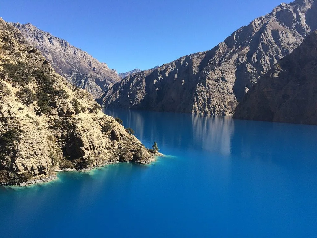
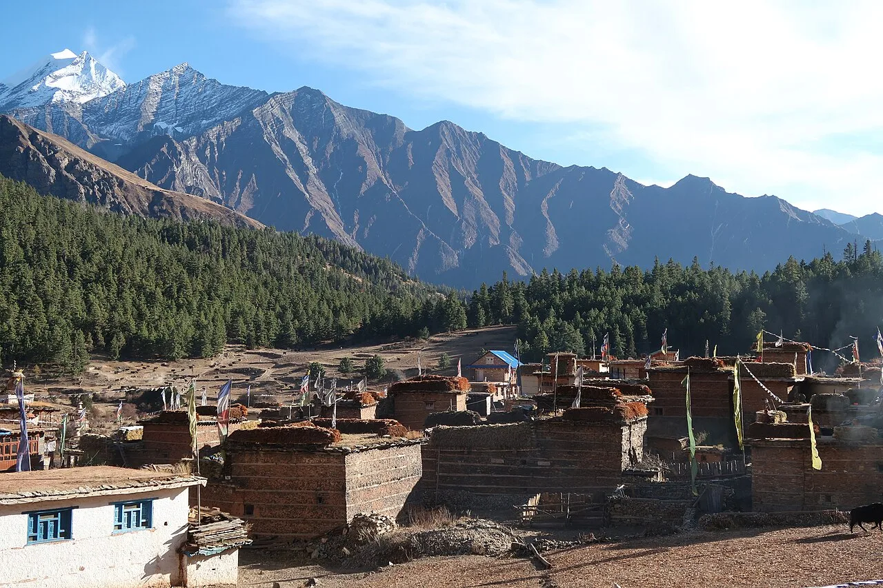
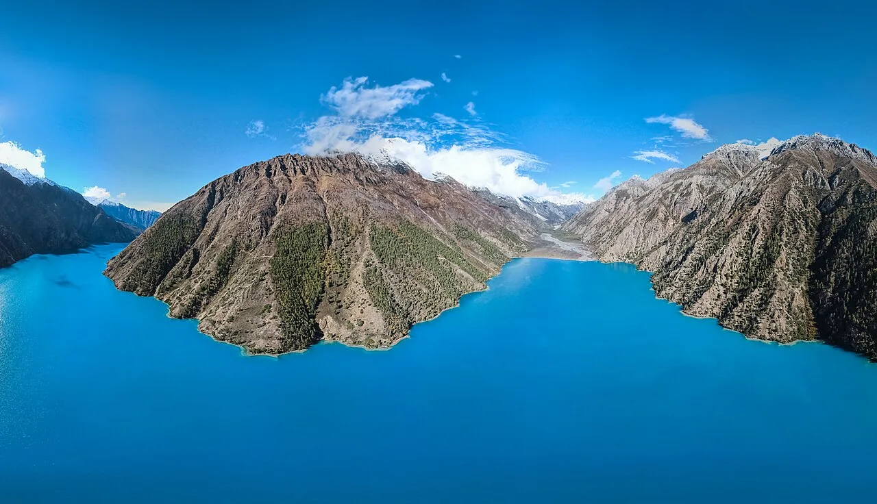
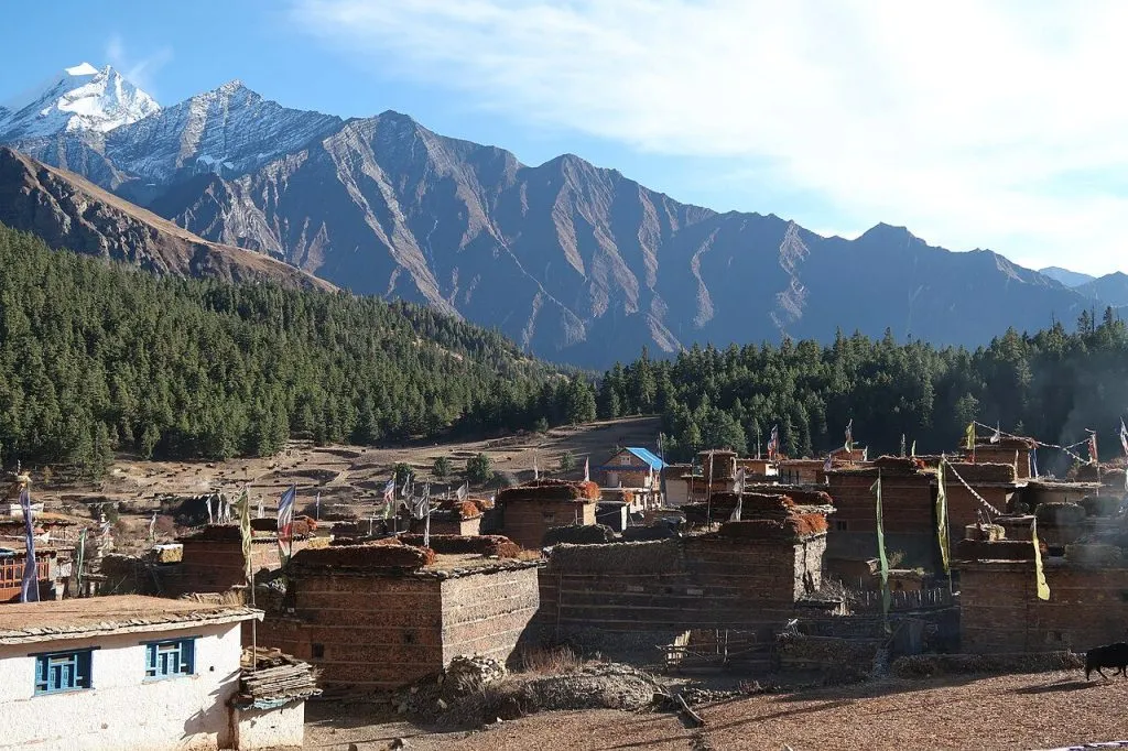
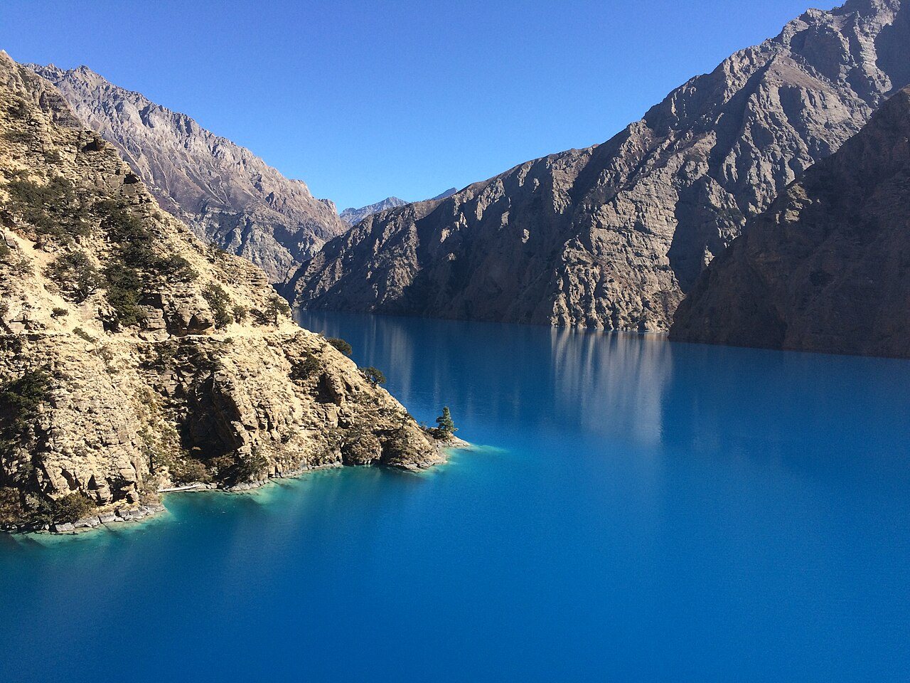
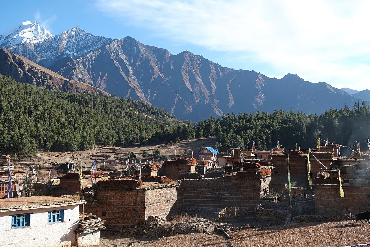
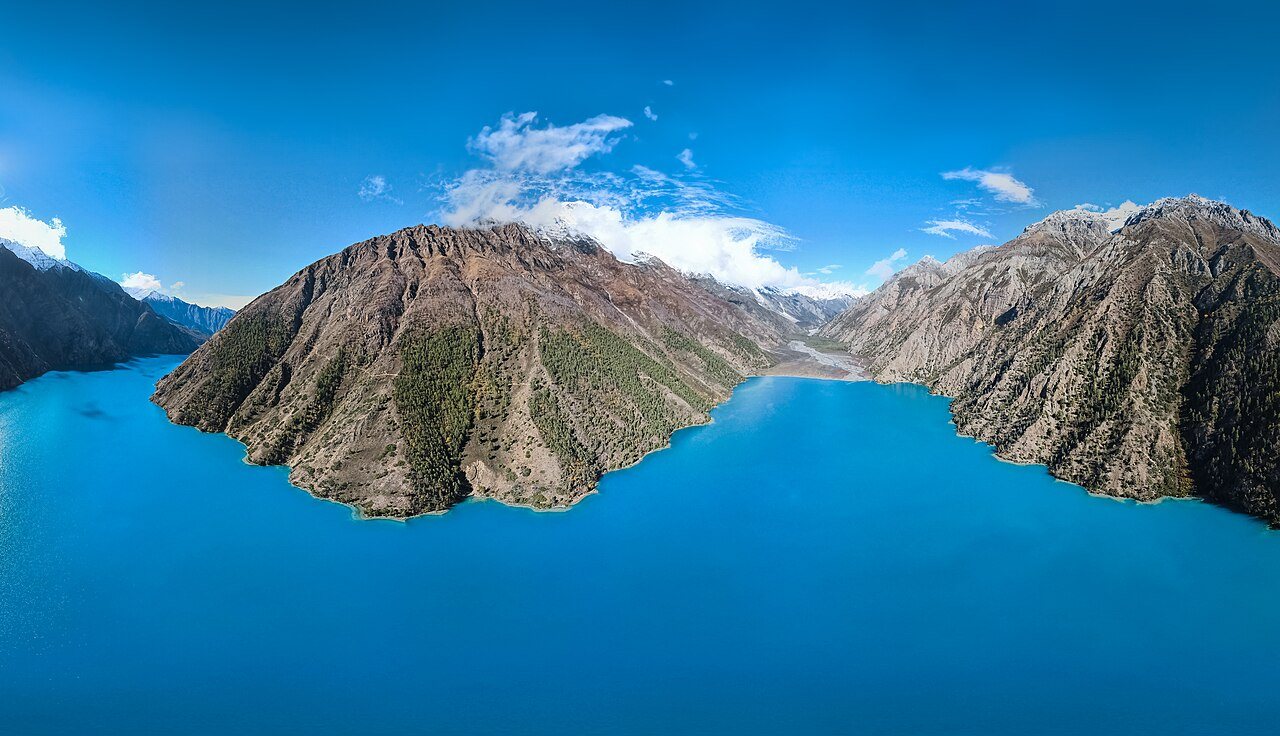
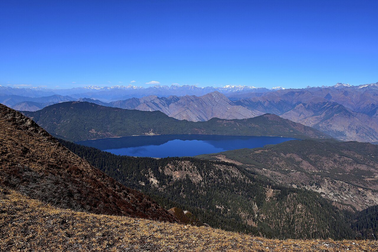
Set inside Nepal’s largest protected reserve at 3,611 meters, Shey Phoksundo Lake gleams with astonishing mineral-turquoise water beneath sheer 2,000-meter Dolpo limestone walls like Kanjiroba. Unlike bustling eastern trekking regions, Lower Dolpa protects centuries-old Tibetan and pre-Buddhist Bon monastery traditions inside Ringmo village overlooking the outlet cliff and Phoksundo Waterfall (167m).
Trail Route from Nepalgunj & Kohalpur
- Juphal Air-Gateway & Dunai: Connect early morning via Nepalgunj Airport flight ticketing to Juphal airstrip (2,475m), descend to Dunai, and ascend the dramatic Suligad River canyon via Chhepka and Jharana Hotel.
- Guided Expedition & Snow Leopard Habitat: Traverse dramatic sky-ledge rock galleries on our Shey Phoksundo Alpine Lake Journey alongside Sherpa and Western field guides.
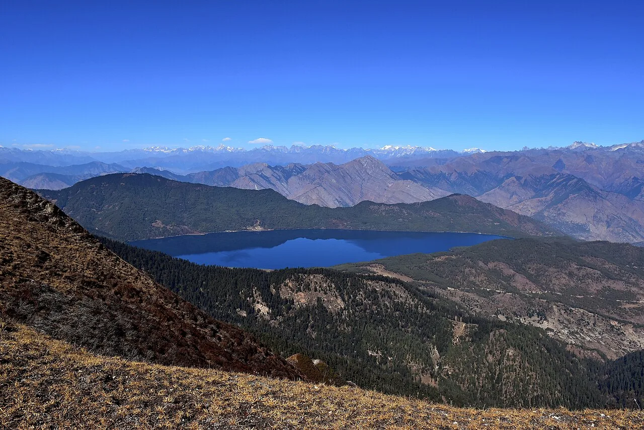
- Neighboring Karnali Highlands: Combine Dolpo memories with overland Rara Lake or Khaptad adventures.
Permits & Park Regulations
Lower Dolpo entry fees are managed under the Department of National Parks (DNPWC), while restricted Upper Dolpo extensions beyond Phoksundo require Department of Immigration permits. Check our seasonal weather matrix in Nepal Permits & Season Calendar.
Highway Schedule & Transit Stop Points
From Kohalpur HQKohalpur Base Office (Departure)
Vehicle check, fuel top-up, route map handover, driver introduction.
Scenic Highway Crossing
Rest stop with panoramic valley views and morning refreshments.
Mid-Way Checkpoint & Lunch
Hearty local meal, permit stamps, photo stops at suspension bridges.
Destination Gate Arrival
Lodge check-in, orientation walk, sunset overlook.
Middle Destinations En-Route from Kohalpur
Foothill Riverside Waypoint
Scenic river junction where mountain tributaries meet lowland Terai floodplains, featuring fresh fish and tea stalls.
Historical Gateway Settlement
Centuries-old market town connecting valley trade routes with mountain high passes.
Top Activities & Experiences
Open 4x4 Overland & Safari Trails
Custom open safari jeeps and Scorpios traversing deep riverbeds, forest corridors, and mountain passes.
Scenic Panoramic Viewpoints
Hikes to high ridge lookouts for golden hour sunrises and 360-degree mountain vistas.
Authentic Indigenous Culture
Homestay interactions, traditional cooking demonstrations, and tribal handicraft displays.
Riverside Wildlife & Drift Boating
Gentle river excursions for birdwatching, aquatic life, and untouched tranquil nature.
12-Month Weather, Mountain Clarity & Road Status Matrix
Click any month below to inspect expected temperatures, road status, and wildlife congregation odds.
November
Current peak travel window. Outstanding mountain visibility and pleasant jungle walks.
Scenic Views & Photography Hotspots
High Ridge Lookout Point
Unobstructed mountain rim overlooking sweeping valleys below.
Tranquil Water Reflection Sanctuary
Calm waters reflecting mountain peaks under crisp morning light.
Historical Architectural Ruins
Ancient stone carvings, prayer wheels, and temples built centuries ago.
Destination Photo Gallery
Click any photo to open in fullscreen lightbox preview:
Field Logistics, Terrain & Road Clearance