Rara Lake
Explore The Beauty
Around Rara Lake
2,990m
March – May & Sept – Nov
340 km via Karnali Highway
Crisp alpine sun 14°C day, freezing clear nights
Nepal’s Largest High-Alpine Sapphire Sanctuary
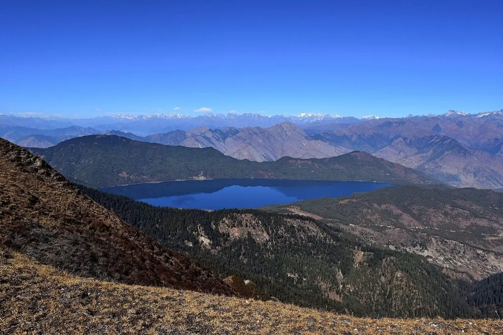
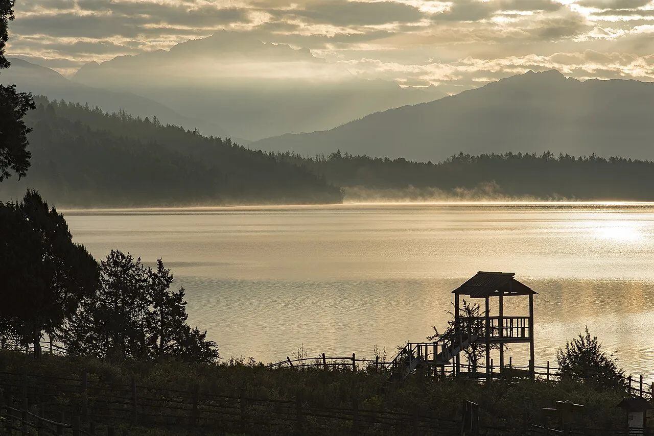
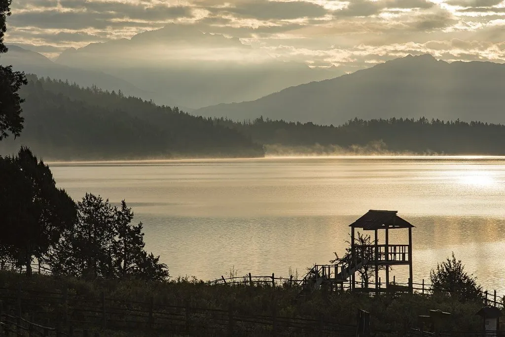
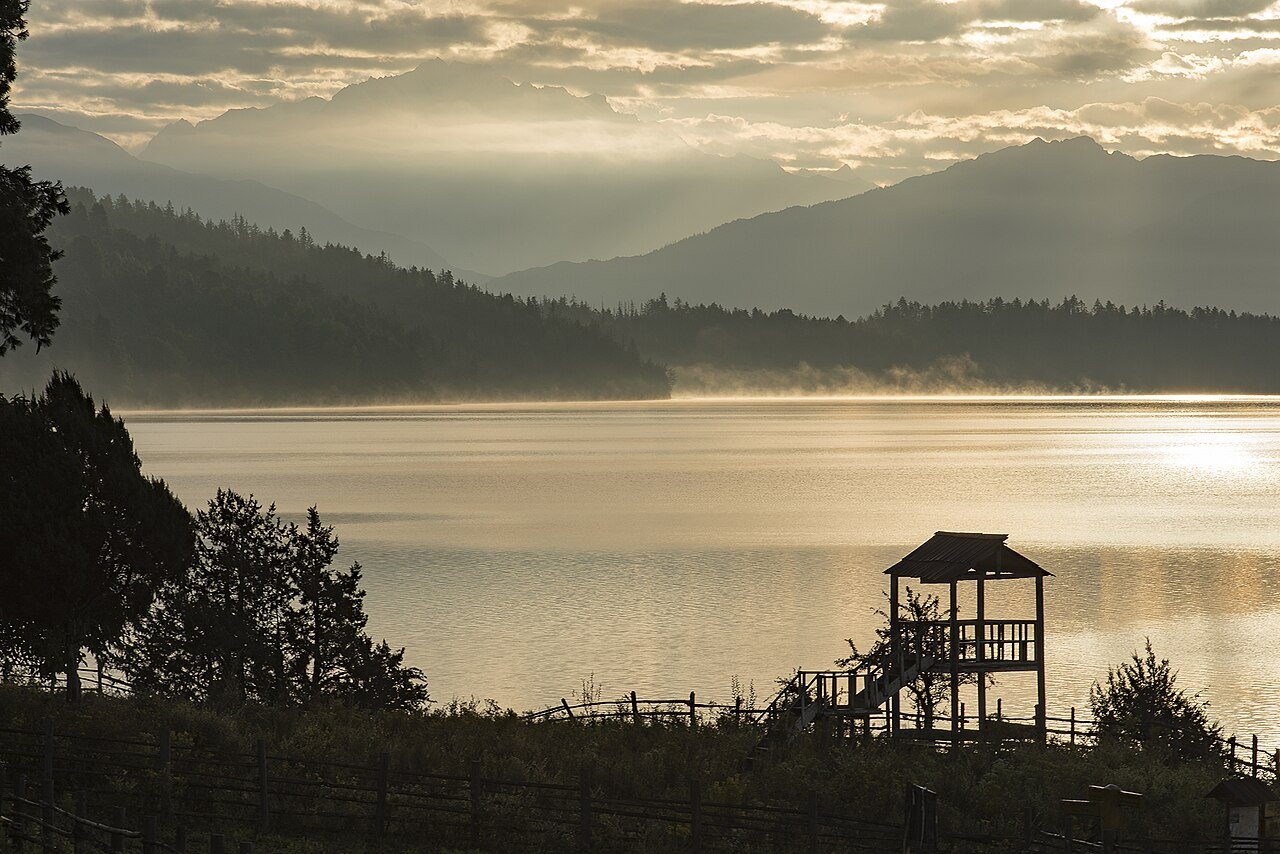
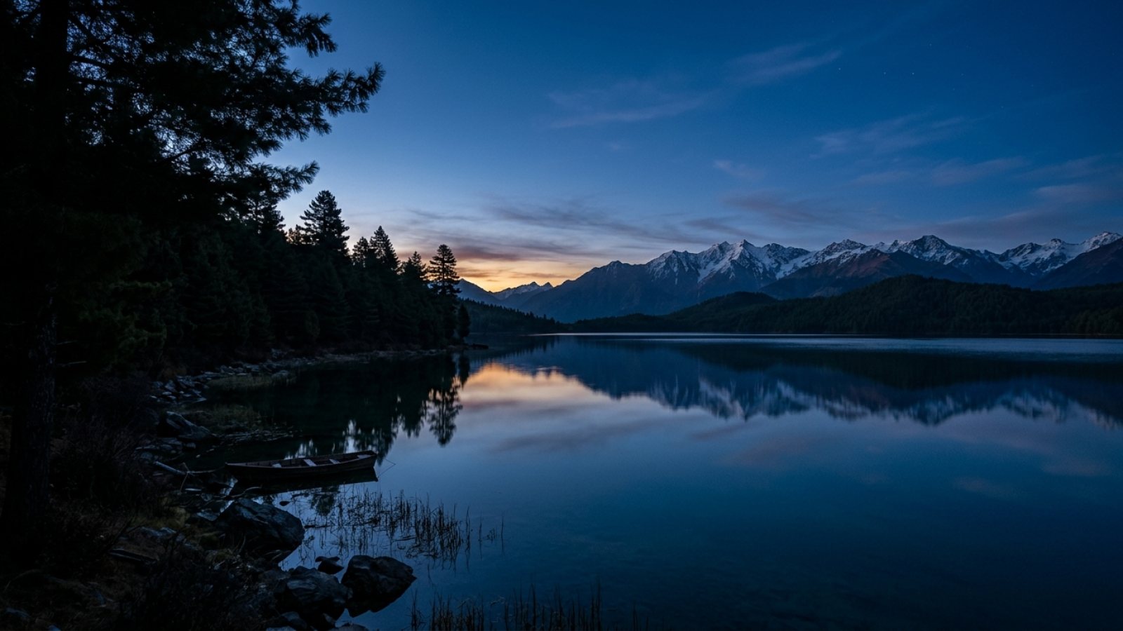
Sitting at an altitude of 2,990 meters in remote Mugu District, Rara Lake covers 10.8 square kilometers of deep crystalline water ringed by blue pine, spruce, and Himalayan rhododendron forests. Because of its isolation in Karnali Province, Rara remains dramatically quieter than central Himalayan lakes while offering unmatched overland adventure from Kohalpur and Nepalgunj hubs.
Overland Access via Karnali Highway vs. Talcha Air Charter
- Private 4×4 Expedition: Our Rara Lake 4×4 Overland Expedition climbs along the Bheri River valley via Surkhet, Dailekh, Manma, and Nagma before ascending into pine ridges toward Jhari and Murma Top.
- Trail Intelligence: Monsoon and winter culvert maintenance varies each month — read our driver-verified briefing on Driving the Karnali Highway and why October stands out in The Magic of Rara Lake in Autumn.
- Chuchemara Ridge & Wildlife: Look out for Himalayan musk deer, red pandas, Danphe pheasants, and panoramic sunrise ridges overlooking Saipal and Kanjiroba massifs.
Park Governance & Trip Planning
Entry permits into Rara National Park are administered under DNPWC protected area guidelines with regional tourism coordination referenced via Nepal Tourism Board. Pair private 4WD transport from our Kohalpur 4×4 Fleet Services for flexible ridge photography stops.
Highway Schedule & Transit Stop Points
From Kohalpur HQKohalpur HQ Departure
4x4 Scorpio vehicle dispatch, luggage tie-down, highway departure.
Surkhet Valley (Birendranagar)
Breakfast in provincial capital and gateway to Karnali Highway.
Rakam Karnali River Gorge
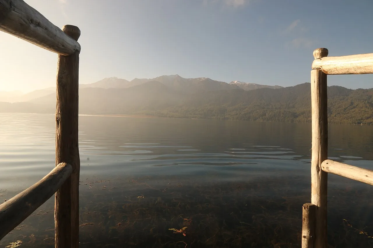
Riverside lunch stop beside turquoise Karnali river.
Manma Kalikot Ridge (2,000m)
Overnight stay at cliffside town above mountain clouds.
Sinja Valley Malla Ruins
Ancient stone temples, apple orchards, and historical briefing.
Rara Lake Shoreline (2,990m)
First magical view of sapphire lake waters andSaipal Himal reflection.
Middle Destinations En-Route from Kohalpur
Historic Sinja Valley
The birthplace of Nepali language and capital of ancient 12th-century Khas Empire with monolithic stone pillars.
Manma Cliffside Town (Kalikot)
High cliffside town perched dramatically above Karnali River gorge, famous for steep mountain terraces.
Top Activities & Experiences
Boating Across Sapphire Waters
Rowing across Nepal's largest freshwater lake surrounded by snow-capped peaks and aromatic pine forests.
Murma Top Sunrise Hike (3,700m)
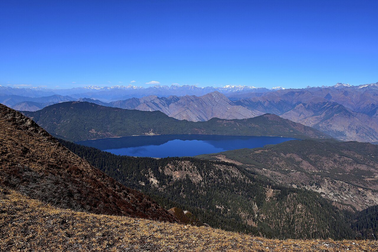
Hiking to the highest panoramic ridge for 360-degree views of Rara Lake, Saipal, and Kanjirowa peaks.
Horseback Shoreline Trails
Riding mountain horses along the pine-shaded grassy meadows of Milichaur.
Stargazing by the Shore
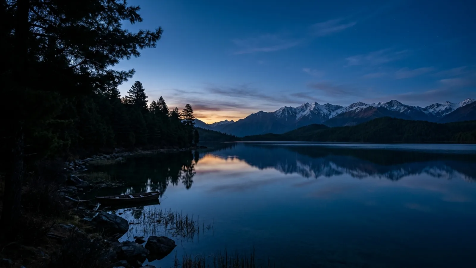
Crystal-clear high altitude night skies with Milky Way visible to the naked eye.
12-Month Weather, Mountain Clarity & Road Status Matrix
Click any month below to inspect expected temperatures, road status, and wildlife congregation odds.
November
Current peak travel window. Outstanding mountain visibility and pleasant jungle walks.
Scenic Views & Photography Hotspots
Murma Top Panoramic Crest (3,700m)
The premier photography viewpoint overlooking the entire 16-meter deep blue lake basin.
Milichaur Alpine Meadows
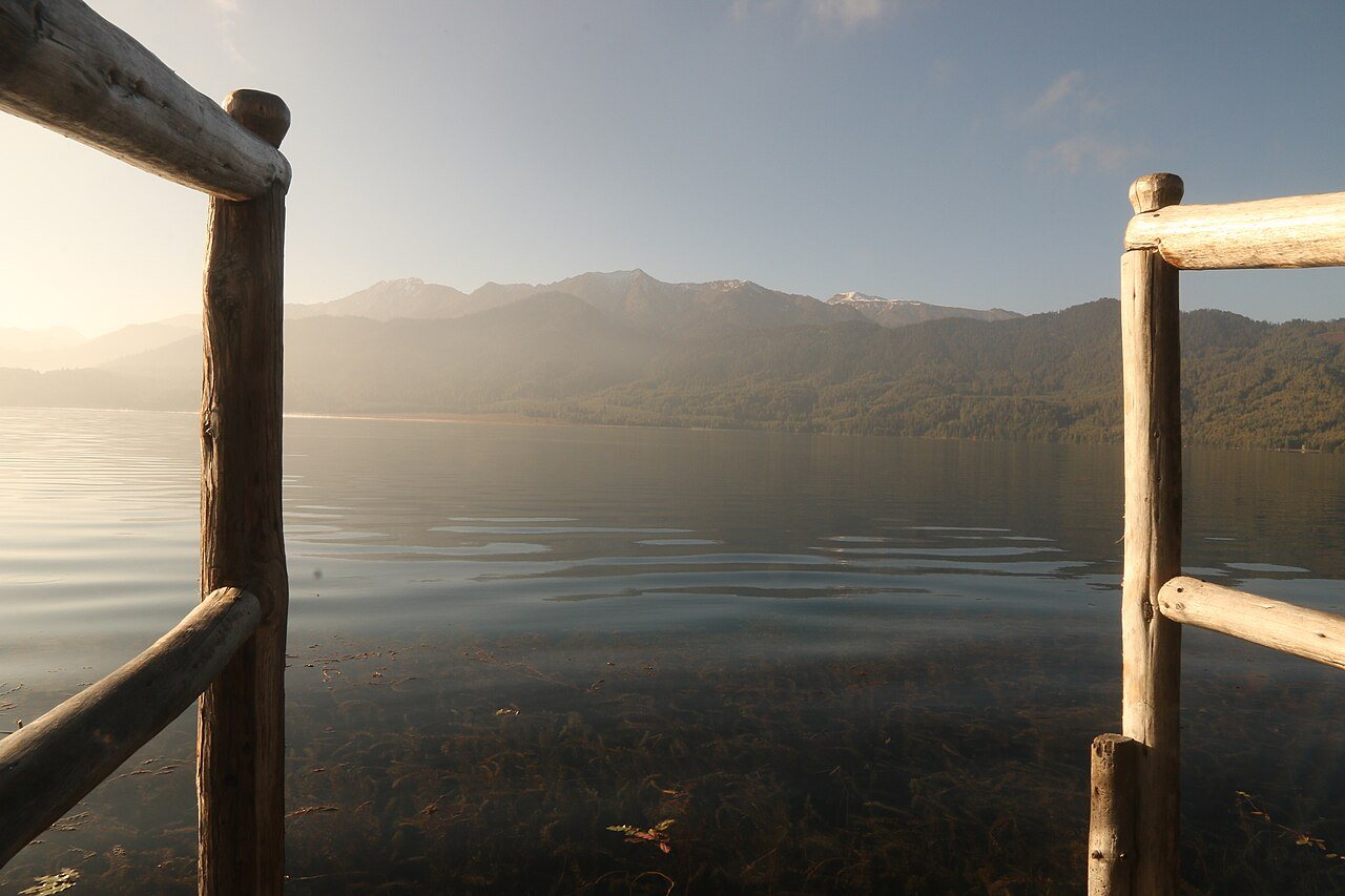
Wildflower grasslands beside the clear shoreline where mountain horses roam.
Karnali River Canyon Overlook
Sheer cliffside views dropping 1,000 meters into roaring Karnali rapids.
Destination Photo Gallery
Click any photo to open in fullscreen lightbox preview:
Field Logistics, Terrain & Road Clearance